You see the Road to the Isles on signs a lot, referring to the main Fort William to Mallaig road. But how did it get its name? From a song, some say – the one about ‘you’ve never smelt the tangle of the isles’. Lots of info here about the road and what you can see – Glenfinnan, Arisaig, Morar, Silver Sands and much more. It’s a great drive.
The Road to the Isles is one of those descriptions that you may come across while in Scotland. For instance, you might see it written on a board on the windscreen of a touring coach.
It’s got a fine romantic ring to it. Like, say, ‘Speed bonnie boat like a bird on the wing’ or ‘And we in dreams behold the Hebrides’ it’s just one of these phrases embedded in a Scottish consciousness.
But what and where exactly is the Road to the Isles? Was it some long-gone guidebook writer’s invention? Why were folk wanting to get to the Isles anyway? Was it exiles coming home? And to which Isles?
Well, it turns out the tourism industry’s use of the phrase is fairly recent.

Today’s Road To The Isles
The name today refers to the A830 that joins Fort William on the Great Glen to the port of Mallaig, 43 miles, 69 km to the west. (There is a map further down the page.)
Not so long ago it was mostly single-track, snaking its way through the woods by, say, Arisaig.
But these days it is a much faster highway and misses out on some of the coastal crofting communities on its northward turn, after Arisaig, towards Mallaig – though the beaches remain as accessible (too accessible) as they ever were.

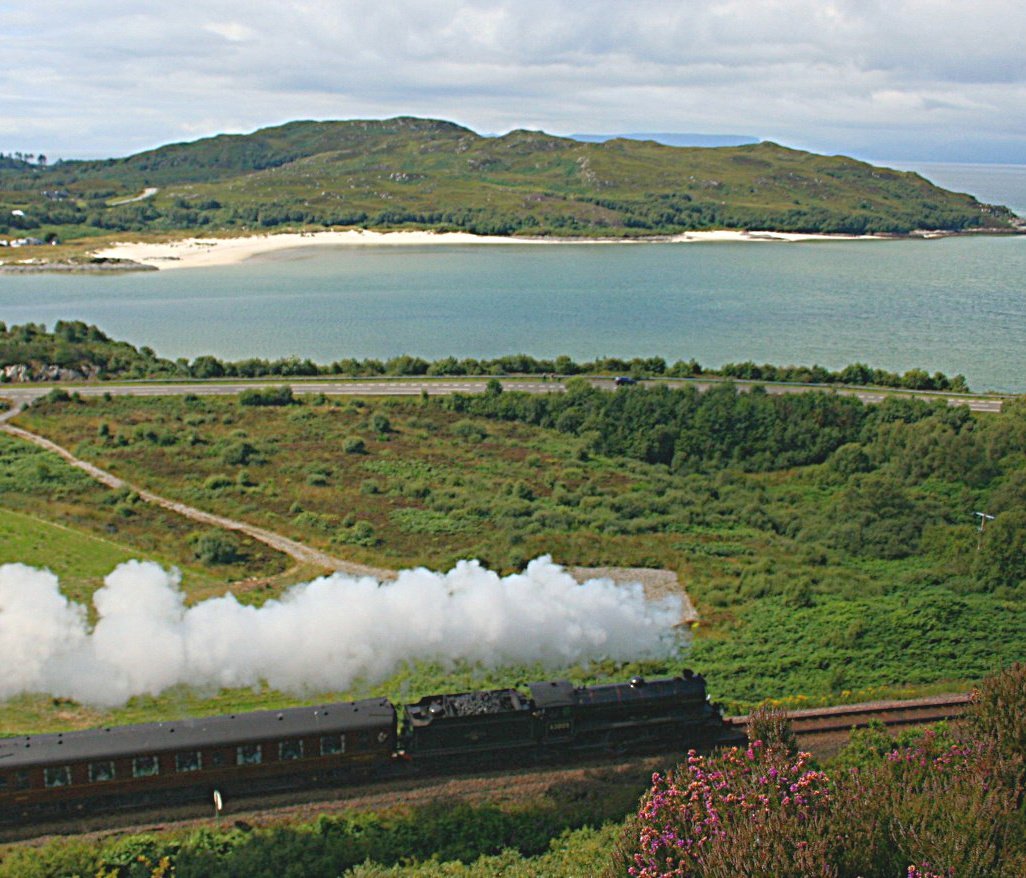
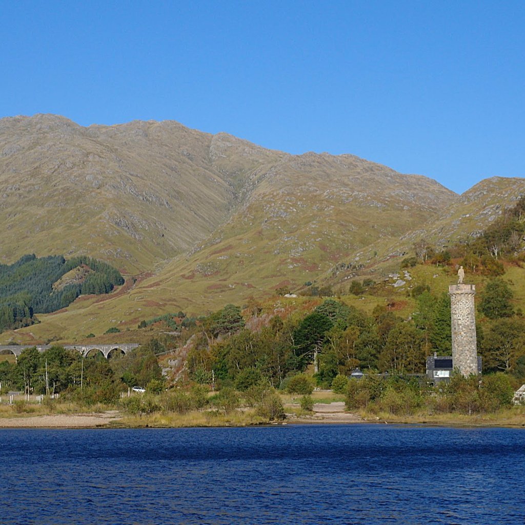
The Road to the Isles is famously scenic, though more relaxing if you go by the parallel rail route, and en route it has landmarks close by such as the Glenfinnan Viaduct and, further west, the White (sometimes Silver) Sands of Morar.
The road (and rail journey) get pretty busy in the summer. Actually, pretty busy is something of an understatement, if an item in northern Scotland’s local paper the Press and Journal is to be taken at face value.
The Road to the Isles, as of July 2019, is being ruined by camper vans, wild camping and too many visitors, according to the local Community Council. (NB – and that was even during the year before the pandemic…)
For example, the most stretch of sand, often called ‘The Silver Sands of Morar’, was looking like a crowded Spanish beach the last time I passed by, right at the beginning of July 2021.
Dread to think of the state of it by the time the English schools have broken up and everyone from south of the Border on a ‘stay-at-home’ holiday has headed here.
You know, sometimes I hate this job…(It’s not a job – Ed.)

Some things to see
on the Road to the Isles
Glenfinnan Monument.
Glenfinnan Viaduct walk – NB NOT on the viaduct though.
Loch Shiel Cruises.
Glenfinnan Station Museum.
Larachmhor Gardens near Arisaig.
Land Sea and Islands visitor centre, Arisaig.
White Sands of Morar.
Mallaig Heritage Centre.
Why Is The Fort William To Mallaig Road Named?
It is fortunate from a tourism promotion point of view that such an attractive route has a romantic name.
And one that’s a little older than, say, the recent rash of contrived marketing names such as ‘North Coast 500’ or ‘North-East 250’ .
But it’s not that old and doesn’t appear in early guidebooks.
For instance, Murray’s Handbook for Scotland (1894) does not use the name. Scotland for the Motorist, an Automobile Association publication dated 1927, likewise describes the route but does not give it a title.
Neither does the 1930s Ward Lock & Co’s The Highlands. Clearly, the Fort William to Mallaig run was an adventure back in those days, but it wasn’t widely thought of as the Road to the Isles.

The Song that Gave it a Name
Wait, here’s a clue – and it’s in Donald B MacCulloch’s Romantic Lochaber, Arisaig and Morar.
First published in 1939, the edition on my bookshelf is 1971 and he refers to ‘the famous scenic road which is frequently called the Road to the Isles as it follows the route of the well-known song of this name’.
So the phrase started out in a song?
It is still heard today, though it belongs in the toe-curling, tartan wiggle-waggle of the kilt, hoots-mon the noo Scotland stereotype category, sometimes still inflicted on and even expected/enjoyed by some visitors today.
The words were written by the Gaelic poet Kenneth MacLeod in 1917 to the tune of a march composed by someone else. Most Scots will recognise the lines in its chorus:
Sure by Tummel and Loch Rannoch and Lochaber I will go/
By heather tracks wi’ heaven in their wiles./
If it’s thinkin’ in your inner heart the braggart’s in my step/
You’ve never smelled the tangle o’ the Isles.
Loosely translated that means ‘I’m heading west by two Perthshire lochs towards Lochaber by heavenly paths through the heather. If you’re secretly thinking I’m boasting then it means you’ve never smelt rotting seaweed on the islands.’
Tangle? That’s kelp (seaweed)
Pretty weird, huh? The seaweed that’s worth smelling is tangle, otherwise called kelp, though, to be plain, I never called the stuff anything else but tangle when I was a wee boy. (I still do.)
Kelp is so middle class. Anyway, it’s probably from Norwegian ‘tongul’. (So there!) More on the Scots language here.

The song ‘The Road to the Isles’ first appears in a multi-volume collection of material ‘Songs of the Hebrides’ based on music collected by Marjorie Kennedy-Fraser.
She was a great champion of the music of the Hebrides, in the early years of the 20th century making many trips to the islands to record the songs she heard there.
She used a wax cylinder phonograph. (She picked up the famous Eriskay Love Lilt as early as 1905.)
Marjorie Kennedy-Fraser was a frequent collaborator with MacLeod who wrote ‘The Road to the Isles’ words. In 1917, the lyrics originally were printed along with the poignant explanation ‘Written for our lads in France during the Great War’.
The Road to the Isles song – sometimes parodied
And the ode to seaweed has remained fairly popular ever since (though there are one or two very rude and scurrilous parodies around. Suggest you try the one sung by Billy Connolly: ‘Leo McGuire’s Song’. But don’t tell anyone I suggested it.)
Anyway, the name we are discussing appears in the title of another published work by MacLeod: ‘The Road to the Isles: Poetry, Lore and Tradition of the Hebrides, with an Introduction by Marjory Kennedy‐Fraser’. Edinburgh: Robert Grant and Son, 1927.

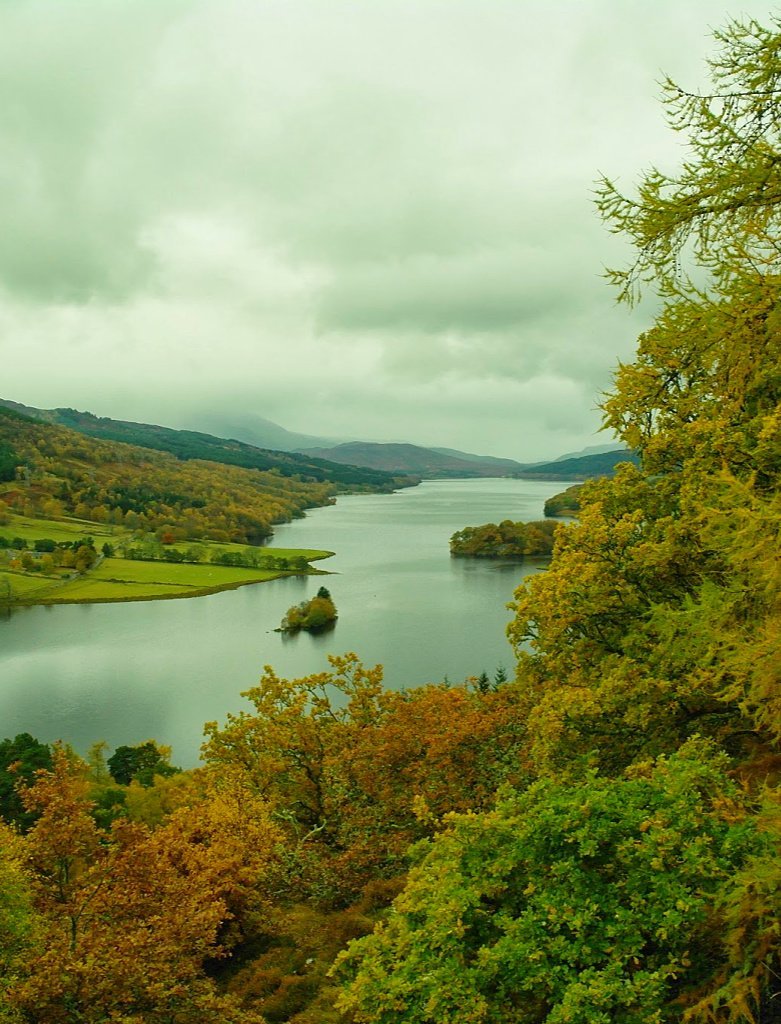
MacLeod’s lyrical journey, however, does not start at Fort William. After all, it’s ‘Sure by Tummel and Loch Rannoch…’ – so in his mind’s eye he is walking west by scenic Perthshire lochs to reach the wastes of Rannoch Moor.
Today’s motorable road to the west – and by Tummel and Loch Rannoch, naturally – terminates on the edge of Rannoch Moor.
For sure, it’s ‘heather tracks’ thereafter.
The traveller with his walking stick next reaches, say, Kinlochleven and Lochaber proper.
Did I mention a stick? In Gaelic that’s the cromach part, meaning a walking stick or crook. My dictionary spells it cromag and says it refers to ‘anything bent’ (so that cromaichean is a Gaelic word for ‘the aged’).
It’s also in the Scottish surname Crombie. Anyhoo…
A far croonin’ is pullin’ me away
As take I wi’ my cromach to the road.
The far Cuillins are puttin’ love on me
As step I wi’ the sunlight for my load.
Other than a cromach, our west-bound walker seems to be departing very lightly laden, seduced by the thought of the Cuillin Hills of Skye.
Places on today’s A830 are picked up again: (though the last two verse lines are rather odd).
It’s by Shiel water the track is to the west
By Ailort and by Morar to the sea
The cool cresses I am thinkin’ of for pluck
And bracken for a wink on Mother´s knee.
Loch Shiel today has the famous Glenfinnan Viaduct to the north. Loch Ailort is a beautiful sea loch a few miles from the main A830, while Morar is noted for its beaches.
The cromack-assisted journey then leaps across the Minch to the Outer Hebrides ‘from the Skerries to the Lews’.
As for ‘cool cresses’, the lightly laden traveller seems to have his mind on a wild salad ‘for pluck’. Maybe it just means he’s going to pluck leaves to eat or maybe it’s pluck in the sense of food – as the word can mean an animal’s innards (used in haggis).
Anyway, perhaps he’s going to graze his way westward, chomping on vegetation and gathering bracken (ferns etc) ‘for a wink on mother’ knee’. Right. OK.
When he gets home he intends to throw the bracken on to his mother and have a nap. (Well, she’ll get a surprise. See? I told you it was a bit strange.)

Today’s A830 travellers have plenty to see between Fort William and Mallaig so that not all of them go as far as the Outer Hebrides, though Mallaig to Armadale on Skye remains an important link in any western seaboard itinerary.
And, of course, from Skye (Uig) it’s perfectly easy to reach Harris in the Outer Hebrides via the CalMac ferry.
So, this ends my take on how the Fort William to Mallaig road got its name.

(Pictured) The way things were. This pic was scanned from a a ‘half-frame’ colour slide from the family archive. It’s April 1968 and Traigh Sands between Arisaig and Morar on the Road to the Isles are completely deserted.
But wait…we can’t leave this topic without mentioning another aspect of the old ways through the Highlands of Scotland. Read more below…
Maybe It’s The Road From The Isles
There is another theory. This is the opinion I found in a forty-year old Scottish Highlands gazetteer written by John Lister.
He used to be the editor responsible for publications at the old Scottish Tourist Board, now VisitScotland.
Back then, that job required knowledge of Scotland plus an actual ability to write with clarity and style.
Today, the requirements merely include ‘marketing-speak’, plus the urge to insert into written copy the word ‘jaw-dropping’ as frequently as possible. But I digress.
Lister points out that, poetic licence aside, it should be the Road from the Isles.
Why? Because, he argues, the old ways from the islands were the drove roads used to take cattle from the Western Isles and Skye to the mainland and down to the main tryst at Crieff in Perthshire.
Look, here’s a map out of a 1927 Automobile Association Guide:

Basically, the original road to or from the islands was much further north.
The drove roads of old
Until the Inverness to Kyle railway line was built, to the edge of the island of Skye, cattle were taken off the island at the Kylerhea narrows and walked to market.
These roads from the isles ran through the mountains from the islands, Skye in particular, down to the Lowland ‘trysts’ or cattle sales, notably at Crieff in Perthshire.
As I have drawn on the map, after crossing from Skye two main routes were followed. One went south to Loch Hourn, then east across the hills via Loch Quoich to Invergarry and into the Great Glen.
The other went east to Glen Shiel, thence to Loch Cluanie. From there the herds were turned south across a now vanished route (though it became a motor-able road later) that cut across Loch Loyne before it was enlarged by a hydro-electric dam.
After that they reached Invergarry again. (Pre-dating hydro schemes, the map [above] shows the motor-able road north of Tomdoun before it was re-routed east of Loch Loyne, as today’s main A87 – the road to Skye.)

One variation of this journey was to continue east, crossing the Great Glen at Fort Augustus to take the Corrieyairack Pass, eventually reaching the route of today’s A9.
All of this is a very long way from a walker with a stick journeying across Scotland, pulled on by the magic of the islands of the west.
Irrespective of the words used in the song – the western seaboard certainly has a strong pull; the islands seem to beckon you on. Why do you think Skye is always busy?
More on cattle droving in Scotland.
More on Skye via Glen Shiel